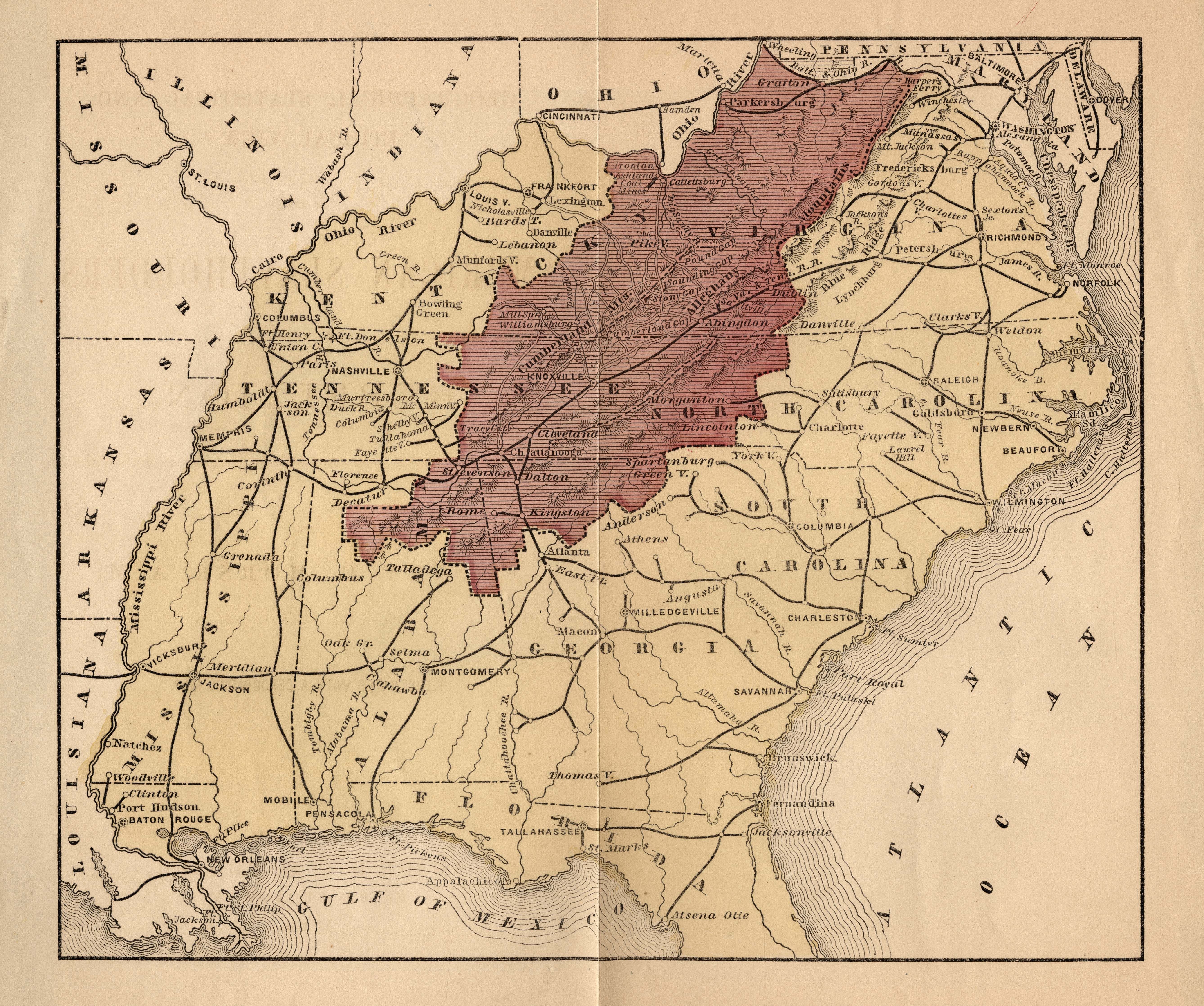
| Title | Map of Slavery and the American South (1863)
|
| Alternate Title | Map of Slavery and the American South (1863)
|
| Creator | Morse, Sidney E. (Sidney Edwards), 1794-1871
|
| Type of Resource | cartographic
|
| Date Created | 1863
|
| Digital Origin | reformatted digital
|
| Topics | History-
|
| Places | United States
|
| Dates | Nineteenth century
|
| Subject Genre | Statistical maps
|
| Handle | http://hdl.handle.net/10176/codu:58042
|
| Rights Statement | Digitized and made available by the University of Denver Penrose Library solely for research and educational purposes. The user is responsible for all copyright, privacy and publicity rights compliance.
|
| Language | English
|
| Extent | 1 online resource (map) : TIFF file, col.
|
| Physical Note | Raster | Original Sheet(s): 17 x 21 cm.
|
| Scale | Scale not given.
|
| Coordinates | (W 94°--W 75°/N 41°--N 29°)
|
| Notes | » Website description: The Coast Survey’s map of slavery inspired several variations, including this map illustrating a military strategy to defeat the Confederacy. | » Host/Source Creator: Morse, Sidney E. (Sidney Edwards), 1794-1871. Host Extent: 19 p. : map ; 23 cm. Host Classification: E458.3.M885. | » Alternate title from Website.
|
| Local Identifiers | Morse_slaveholders.tif | nationID: 4.12 | nationIDchrono: 3.11 | nationIDcreator: 1.59 | (DLC) 11020768 (Host) | (OCoLC)2378938 (Host) | (OCoLC)765755239 (Host)
|